Orange County sherriff fire cams
Santiago Peak Fire Cams


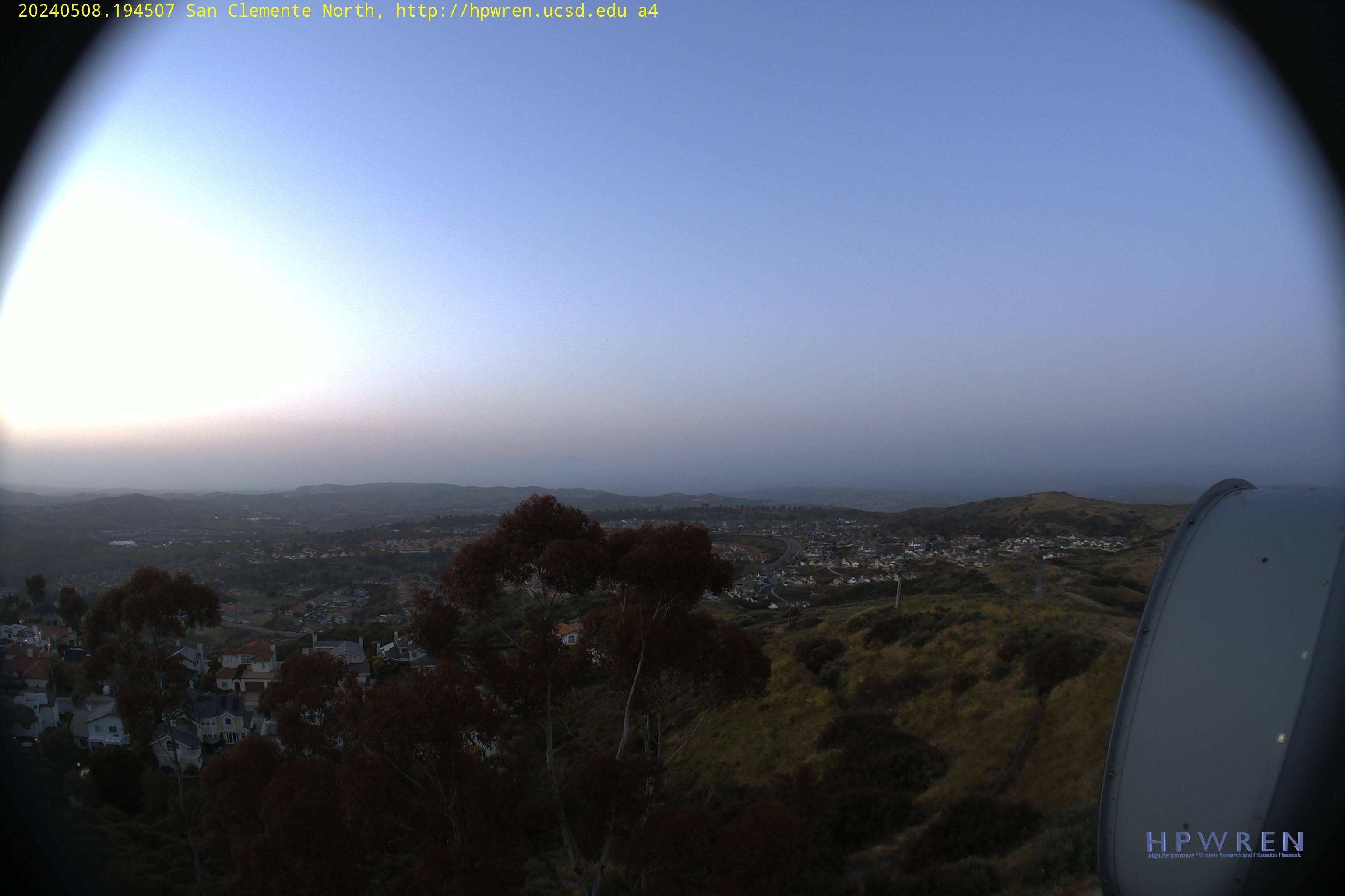
San Clemente Cam
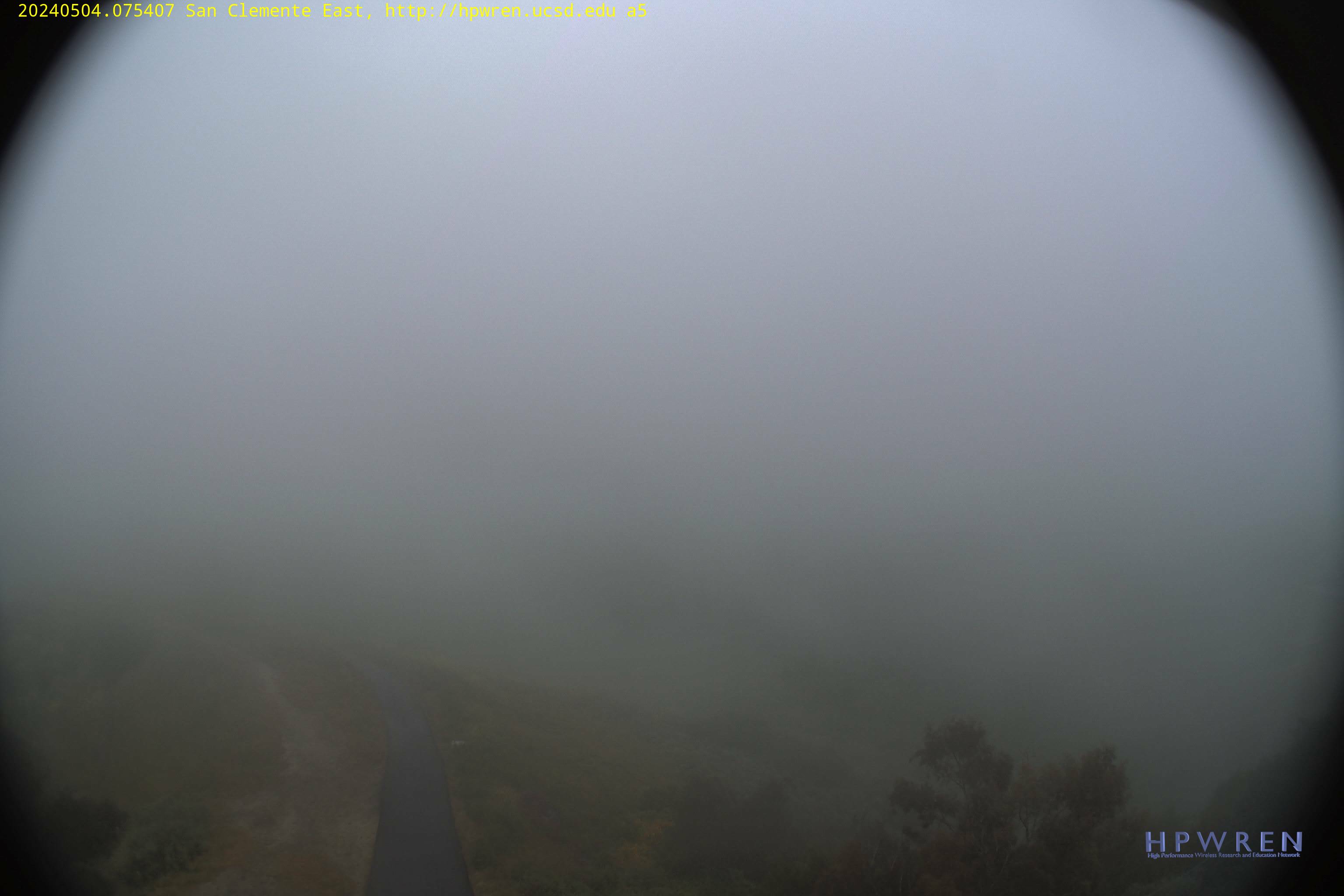
San Clemente Cam
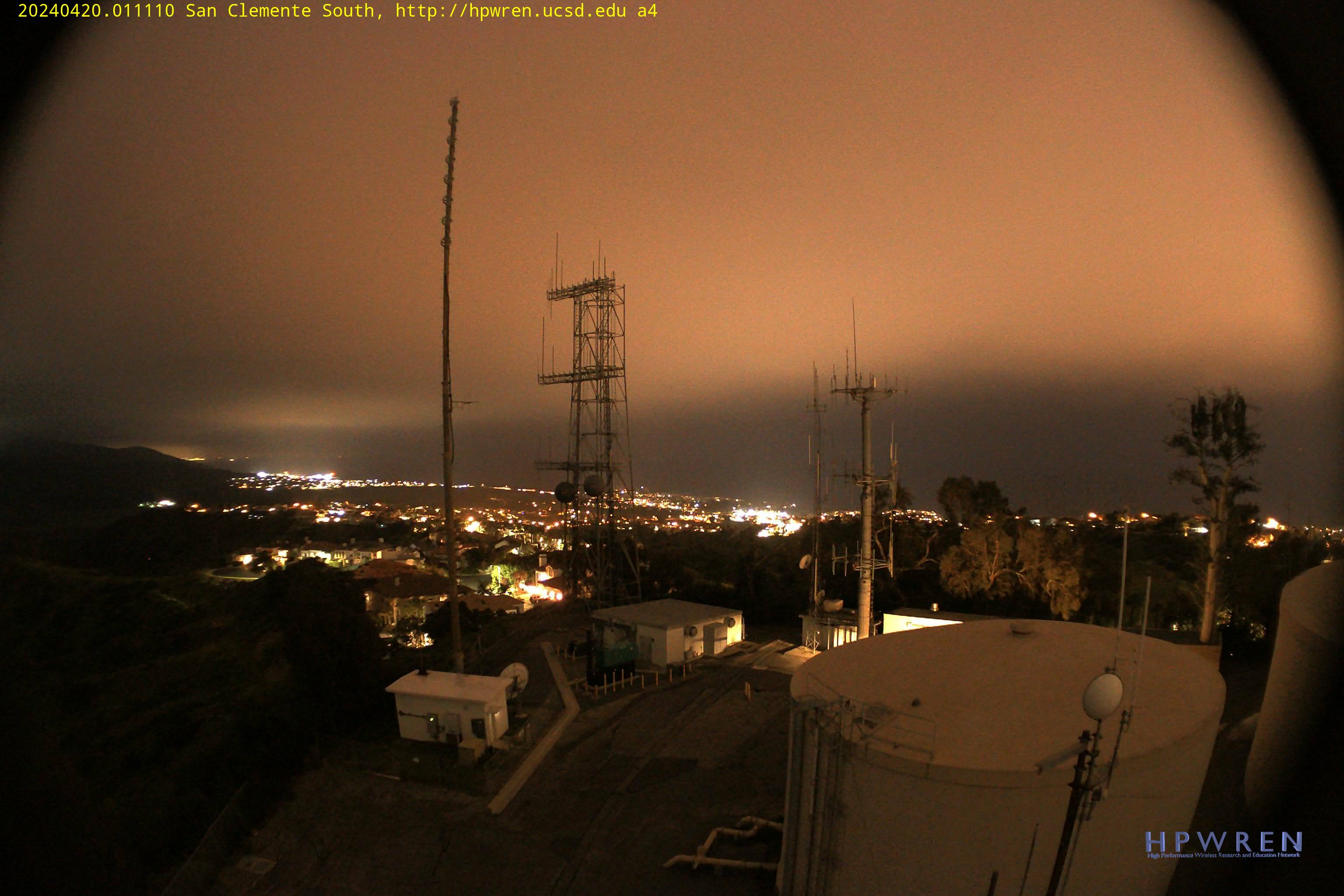
San Clemente Cam
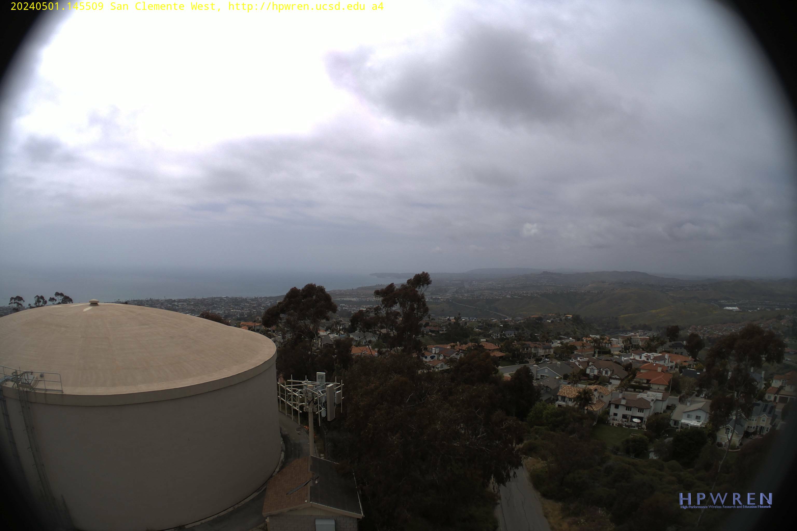
San Clemente Cam
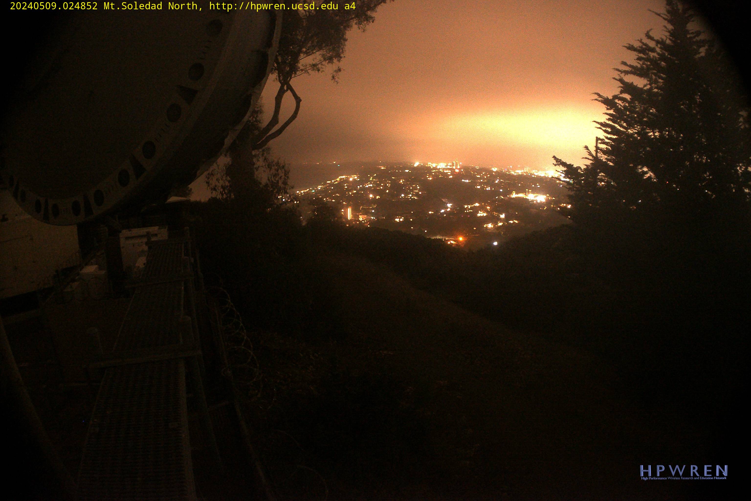
La Jolla Fire Cam

AnaheimTemp.
Orange County Wind Gusts
Wind – Elevation 2,730 feet
Wind –
Elevation 1,780 feet
Wind –
Elevation 1,750 feet
Aliso Laguna Weather Station
Elevation 820 feet
Bell Canyon Weather Station
Elevation 790 feet


Burn Index
The BI (difficulty of control) is derived from a
combination of Spread Component (how fast fire will spread) and Energy Release
Component (how much energy fire will produced).

Orange County Fire weather extremes – day 1

Orange County Fire weather extremes – day 2
Los Angeles


Temperatures – 6 to 10 day
outlook

Rain forecast – 6 to 10 day outlook
AnaheimTemp.
NWS Extremes